Overview
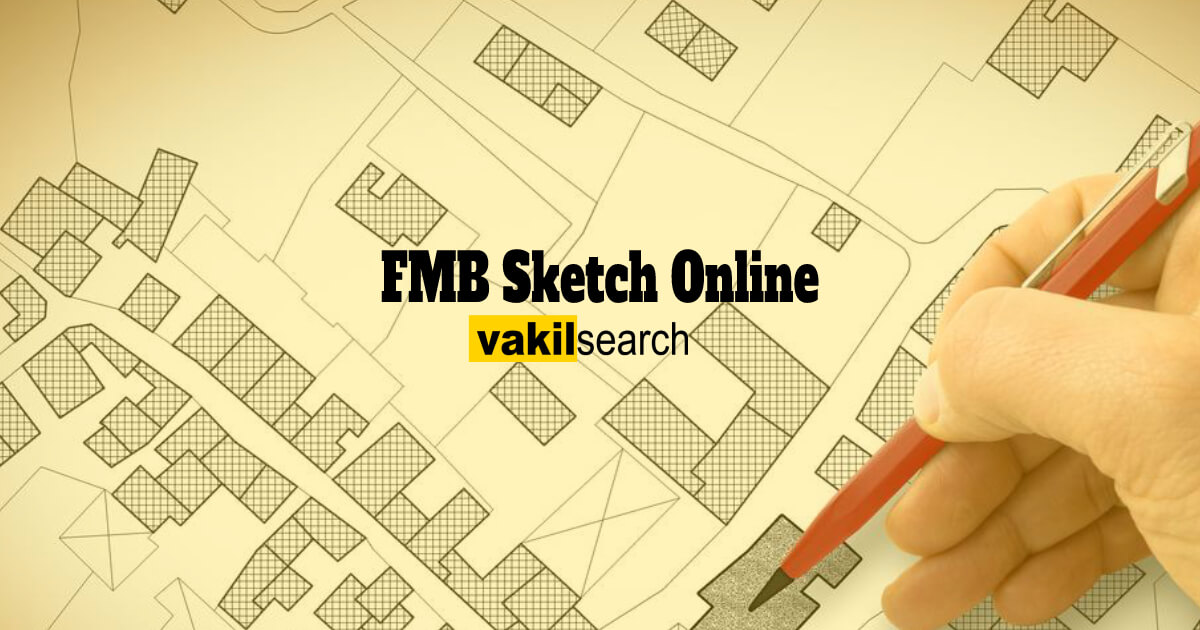
FMB Sketch Online – The Field Measurement Book (FMB) drawing is a collection of map information held in bulk at each Tahsildar office by the government. The individual survey number drawings in FMBs are kept at a 1:1000 or 1:2000 scale. There are several different subdivisions for every survey number. An owner of real estate is the owner of each subdivision number. FMB shows the exact measurements of the land. Therefore, an FMB sketch is utilised to confirm the land dimensions and property borders in a real estate acquisition process.
To perform computations or complete other activities, engineers and other professionals frequently use the FMB to determine the exact dimensions of a field. To ensure that their measurements are accurate, surveyors frequently consult this book.
The FMB could benefit anybody who needs to measure a field precisely. It can aid in ensuring that measurements are conducted correctly, and the outcomes are trustworthy.

What Is FMB Sketch?
FMB Sketch Online – The Field Measurement Book (FMB Sketch) is a compilation of land map data stored in volumes and managed by the Government at the Village Administrative Office (VAO) or Revenue Department.
It documents measurements at a scale of 1:1000 or 1:2000, providing precise land dimensions. It is essential for surveyors, as it aids in recording measurements and creating site maps.
| Surveyors and Engineers use the FMB sketchbook with blank pages, lines, and grid patterns for accurate sketches in the field. |
FMB Sketch Online: Field Sketch Types
A field measuring book can contain one of three different types of field sketches:
-
- Plan Drawings,
- Sectional Elevation Sketches,
- Profile Sketches.
Plan Sketches depict the structure of a region, whereas profile sketches depict the ground level along a line. Sectional elevation illustrations demonstrate how the height of the land varies along a line. For various uses, all three styles of graphics can be beneficial.
- To depict the ground profile along the pipeline and perhaps other linear features’ proposed route, profile sketches are frequently used
- Sketches of a plan could be used to depict the layout of even a location, including the positions of roads, buildings, and other elements
- Sectional elevation sketches illustrate how the terrain alters along a line, such as a pipeline route.
Use symbols consistent with those on engineering drawings while creating field sketches. As a result, the images will be simple for others to understand.
When to Use a Field Sketch
Any professional dealing with property or land needs a field sketch. It can take measurements, make notes of topographic features, and monitor ongoing changes. A field sketch may help establish objectives or facilitate communication with other experts by producing a vivid image of a property.
A field sketch may also spot possible issues or investment opportunities on such a property. Professionals may ensure that they have been fully aware of the status of a patch of property and can make informed judgments regarding its future development by maintaining a precise and up-to-date field sketch.
Obtaining FMB Sketch Online
For official purposes, the field measuring book (FMB) keeps track of land measures. The interested person must first file a written request to get a drawing of the FMB from the concerned tehsildar. The request mess, and justification for seeking the sketch.
When the request is submitted, the tehsildar reviews it and decides whether to approve it. A duplicate of the FMB drawing will be given to the petitioner if the proposal is accepted. If the request is turned down, the petitioner can appeal the ruling well to the District Collector.
Components of FMB Sketch Online
The different elements of FMB include the following:
- G-line
- F-line
- Line Subdivisions
- Ladder Lines
- Extension Lines
- Field Survey Data from nearby Areas.
In more detail, the following elements are covered:
-
-
G-line
-
The complete sketch’s creation is shown in G-line. It is an illustrative line that fixes the sketch’s boundary lines and various points by converting it into triangles of varying sizes. G-line errors will impact all the necessary computations.
-
-
F-line
-
In the sketch’s outer lines, the F-line designates the actual field boundaries. Its points are fixed concerning how far off the G-line it is.
-
-
Line Subdivisions
-
Subdivision lines define subdivision Lines Within a survey number, a tiny area of land.
A polygon’s sub-divisional extent and the extent discovered for that specific subdivision are intimately connected. A ladder or something similar is often used to define the subdivision lines, except for FMB’s graphical representation.
-
-
Ladder
-
A distance offset from the G-line, establishes the field line points. Depending on the offset distance, the G-line could be either to the left or right. The ladder emphasises left or right angle deviation. It is possible to create the FMB sketch’s outline by converting the ladder’s specifics into digital data.
-
-
Extension Lines
-
The village map relies heavily on each survey number field, resulting in extra fields surrounding each sketch. On the FMB, an extension line shows the precise direction in which the subject field meets the neighbouring field.
-
-
Field Survey Data from nearby Areas
-
Around every survey sketch is the additional field. Each FMB is indicated with the surrounding field numbers. This makes converting FMBs into D-sketches and other processes more accessible.
FMB Sketch Online: How to Get FMB Sketch?
The procedure to get FMB Sketch
-
- Visit the Taluk office in the respective area to acquire the Field Measurement Book (FMB) sketch copy of the land.
- Approach the Tahsildar with a formal request.
- Fill out the request form, providing the Survey number to the relevant department.
- Attest the form with the applicant’s signature and attach all necessary documents.
- Submit the completed form and documents to the relevant authority.
- The Tahsildar reviews requests, approving or rejecting them. If rejected, an appeal can be made to the District Collector.
- Obtain a receipt for the fee paid as future reference.
- Upon approval, receive the FMB sketch copy of the land with a unique reference number.
FMB Sketch Online – Field Sketching Tips
Engineers and surveyors need to use the field measurement book (FMB) sketch as a vital tool. It offers a concise and transparent record of the measurements taken in a construction area. Creating a detailed FMB sketch might be difficult, but a few pointers can help.
- Be sure to measure from a variety of points of reference. This will help to guarantee the accuracy of the sketch
- Use a measuring tool with feet and inches, such as a tape measure. By doing this, conversion mistakes among imperial and metric units will be reduced
- Ensure that every measurement has a label. This will make it easier to understand the sketch later when you review it.
By paying attention to these suggestions, you can be sure that one’s FMB sketch will be precise and useful.
How to Apply for FMB Sketch Online
- Visit Tamil Nadu’s Land Records website available at https://eservices.tn.gov.in/eservicesnew/land/chitta.html?lan=en to obtain an FMB sketch copy.
- Choose the respective district, taluk, and village.
- Enter the Area Type and click “Submit.”
- The system will display the FMB Sketch copy upon successful submission.
How is FMB Sketch Maintained?
The FMB sketch maintains survey number sketches at a scale of 1:1000 or 1:2000. Each survey number is subdivided, and these sub-divisions are allocated to property owners. The FMB book records crucial details, including land location, type, extent of measurements, and dates of measurements, for future reference and analysis.
Correction For Wrong FMB Sketch Online
To rectify a wrong FMB sketch, an application must be submitted to the tahsildar. Revenue authorities will amend the FMB after surveying and measuring the land. If the tahsildar doesn’t respond, a petition can be filed in court to direct the tahsildar to correct the FMB.
The 3 Types of Map Symbols are listed below
There are three types of map symbols are as follows:
- Point Symbols: Represent features like dipping tanks, buildings, and trigonometrical beacons.
- Line Symbols: Depict elements such as power lines, roads, telephone lines, and railways.
- Area Symbols: Illustrate features like ponds, cultivated lands, vineyards, and orchards.
Field Measurement Book (FMB) Online
FMB sketches, verified through a 1:1000 or 1:2000 scale, play a crucial role in property transactions. Subdivisions of each survey number, owned by property owners, are outlined in FMB, providing precise land dimensions.
FMB Field Sketches
The type of FMB field sketches are listed below:
- Profile Sketches: Display the ground profile along a line.
- Plan Drawings: Illustrate the layout of an area, including building locations and roads.
- Elevation Sketches: Depict changes in ground elevation along a line, beneficial for projects like proposed pipeline routes.
FAQs
What is meant by FMB sketch?
FMB (Field Measurement Book) sketch is a map-based record of the land dimensions in a particular area. It shows the precise dimensions of a piece of land land and is used to verify the boundaries of a property.
How to apply for FMB sketch in Tamil Nadu?
To apply for an FMB sketch in Tamil Nadu, you need to approach the concerned Tahsildar office with a request.
What is the meaning of FMB in Patta?
FMB (Field Measurement Book) is a map-based record of the land dimensions in a particular area, while Patta is a legal document that establishes the ownership of a property.
How can I watch full FMB sketch online?
You can view FMB sketches online through the eServices portal of the respective state. However, depending on the specific district and village, some sketches may not be available online. In such cases, you might need to visit the Taluk office.
What is 1B and Adangal?
1B, a document maintained by the revenue department indicates land ownership, similar to a Patta. Adangal is an important revenue document that records details like crop cultivation, land revenue payments, and tenant information for a specific land parcel.
What is Patta Chitta and Adangal?
Patta Chitta is a legal document that establishes the ownership of a property and contains details such as the survey number, extent of the land, and the name of the owner. Adangal is a document that shows the details of the land, including the survey number, extent of the land, and the name of the owner.
Why is the FMB sketch important?
FMB sketch is important because it shows the precise dimensions of the land and is used to verify the land measurements and boundaries of the property during a property purchase transaction. It is also required to obtain water connection, building plan approval, and electricity connection for the building.
How to get village FMB in Tamil Nadu?
To get FMB in TN, use the Tamil Nadu eServices portal or visit the respective Taluk office with a written application.
Is Patta and Chitta same?
Patta and Chitta are not the same. Patta is a legal document that establishes the ownership of a property, while Chitta is a document that contains details such as the survey number, extent of the land, and the name of the owner.
What is UDR Patta in Tamil Nadu?
UDR Patta stands for Updating Registry Scheme in Tamil Nadu.
What is the full form of Patta?
Patta doesn't have an official full form. It simply refers to the land ownership document issued by the government.
How to read a Patta?
The Patta document contains details like survey number, area, location, owner's name, and date of issue. You can find detailed information on how to read a Patta on the Department of Survey and Settlement website or by consulting a professional from Vakilsearch.
What is the difference between TSLR and Patta?
TSLR stands for Town Survey Land Register. It's similar to a Patta but applies to land within municipal limits.
How can I check my Patta online?
You can access your Patta online through the eServices portal of the respective state. To check Patta you will need to provide details like district, taluk, and survey number.
How can I take Patta Chitta online?
Similar to accessing your Patta, you can download your Patta Chitta online through the eServices portal with the relevant district, taluk, and survey number details.
Conclusion
FMB Sketch Online – A skilled individual could improve the FMB Sketch. We can assist if you’re looking for experts. Vakilsearch is a law business that can give you the knowledge and abilities for your requirements. To learn more, get in contact with us right away.